
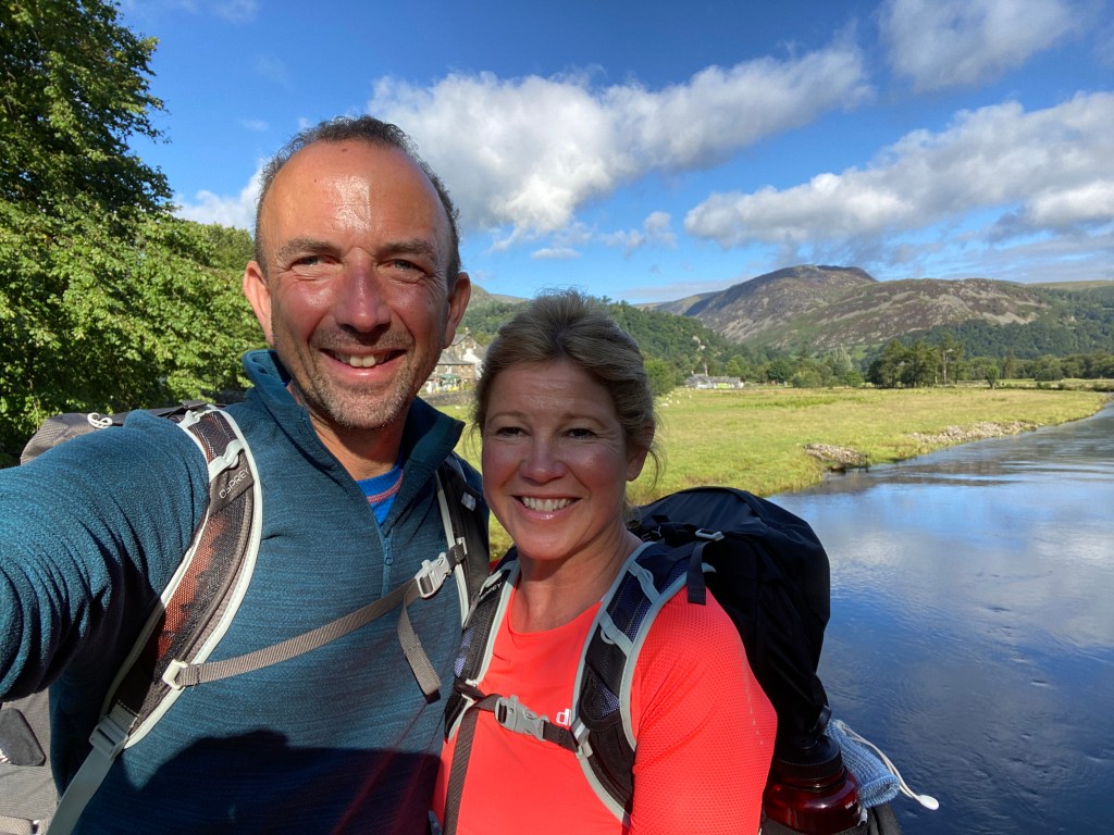
We woke at the very lovely Old Water View in Patterdale to something we hadn’t seen for a few days – the sun! Patterdale is such a lovely setting, and like most places in the Lakes and elsewhere, a bit of sun certainly magnifies its beauty.
We set out just before 9 on our trip to Shap which would see us sadly leave the Lake District behind, but on the way we would reach the highest point of the whole Coast to Coast, that of Kidsty Pike. And it was a stunning day. That was a good thing as I had tied my still wet boots onto the back of my rucksack (I’d brought a spare pair with me for this very reason) and they got to air well and get dry before the day was out.
The day started with a fairly steep climb up Place Fell, and it was a majestic walk.
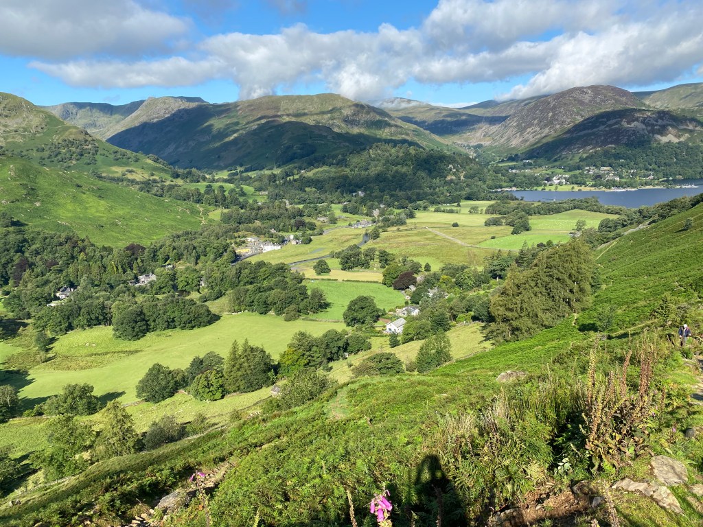
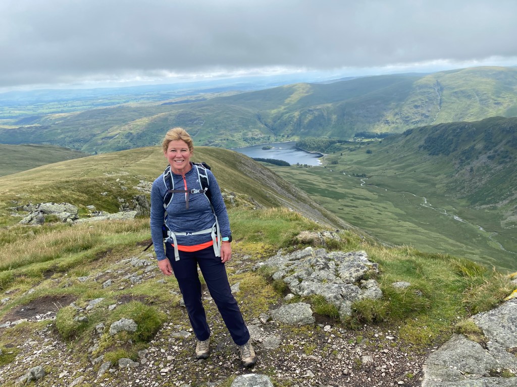
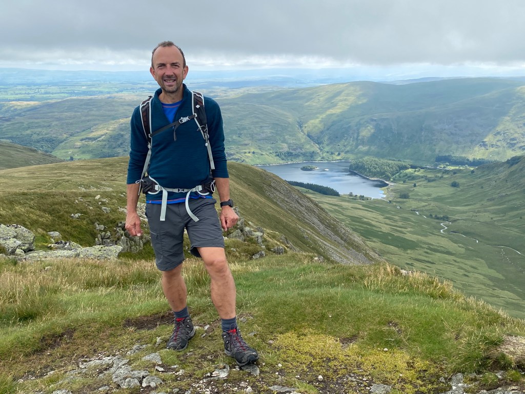
The views back over to Patterdale and the Lake and Helvellyn were mesmerising. I didn’t want to leave. Just as they were looking up to Brotherswater and Sheffield Pike too. We even saw other people (!) – something that the miserable rain and wind of the last few days had been bereft of.
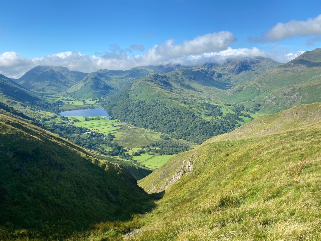
We passed Angle Tarn after about 45 minutes and then onto Kidsty Pike after two hours or so. Kidsty Pike is officially the highest point on the C2C at around 2,600 feet, and the views are wonderful in every direction. It was the first time I’d seen Haweswater too, which would be our focus for the next several hours as we were to do a steep descent towards it and then a long undulating walk along its whole length.
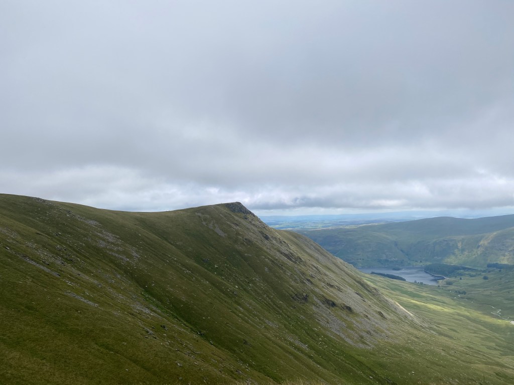
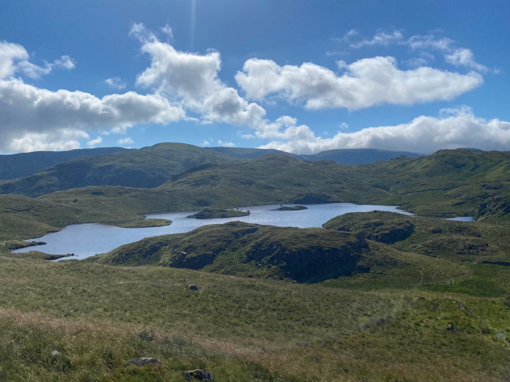
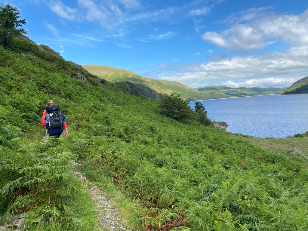
Haweswater is a man made reservoir, having originally been a smaller lake, and today serves about 25% of the North West of England’s water supply. Although only 4 miles long it never seems short of water due to where it is, although there is apparently a sunken village (Mardale) somewhere in its depths which every few barren years a few people get a rare glimpse of. The trek around we thought would be flat, but it turned out to be very undulating and pretty wet in parts too from yesterday’s rain. It’s a very pretty spot though.
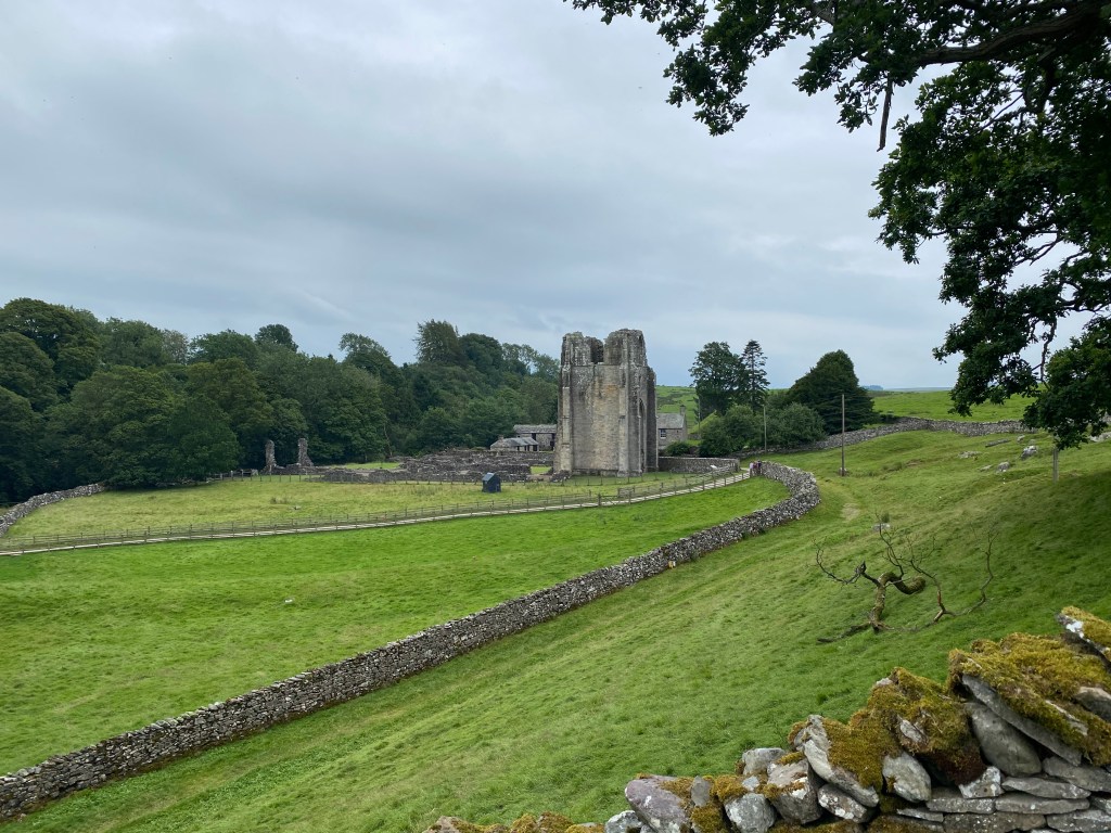
As Haweswater ends the Lake District is behind us, and almost immediately the landscape changes to be much flatter and more agricultural, but still very much rolling. Shap would be about 6 or 7 miles further on, and just before we got there we reached the very lovely ruins of Shap Abbey. Shap Abbey is a 12th century monastic house on the edge of the river Lowther in the Eden Valley, and very nice it looked. On another day we’d have stopped for a proper look, but we were by now 17 miles in and ready to get finished for the day, so on we went.
Leaving the valley we headed to Shap itself. Shap definitely (and apologies to anyone from Shap who is reading this) has none of the charm that the Lakes has, and I’m being kind. It also only has three places to eat, and two of them were closed due to Covid. The third, The Crown, was ‘fine’, and actually did the job. It will win neither a Michelin star nor a 5 star rating on Tripadvisor, but it served us very well after a 19 mile walk that’s for sure. The folk who run it are super friendly and so do stop in if you are passing – the outside isn’t too inviting (and actually neither is the inside come to think of it), but we left very content and that’s all you want.
The highlight of the day turned out to be (apart from those views of Patterdale naturally!) the B&B we stayed in – Brookfield House, of which more tomorrow. Suffice to say it is ‘old school’, and run by surely the best B&B host in B&B history, Margaret. We got all of our dirty clothes washed and folded, and nothing was too much trouble for her. A veritable oasis in an otherwise unpretty little town. I’ll remember it forever, so good was Margaret’s fruit cake!
So after another 3,400 feet of ascent and 18 miles, we’d done 68 miles in four days. Tomorrow would see us do 21 more, and leave Cumbria behind and enter the fringes of the Yorkshire Dales. Bring them on, that’s what I say………:)
