So having decided to climb Island Peak (or Imja Tse, to give it it’s correct name), I thought I’d put some information up here for those who (like me as of a month back) haven’t heard of it before.
The mountain of Island Peak is 6,189m (or 20,305 feet) high. It is officially a spur, or ridge extension coming off part of Lhotse, the fourth highest mountain on earth (the other three being Everest, K2 and Kangchenjunga). It was apparently named in 1951 as it appears to look like an island in a sea of ice when viewed from Dingboche, a popular trekking stop en route to Everest Base Camp. It was first climbed by a British team as a preparation for the first successful Everest trip that same year. One Tenzing Norgay was part of the team, apparently.

Imja Tse......
It is classified as a PD+ climb. PD stands for Peu Difficile in Alpine terminology, and a list of Alpine and other terms are included in the link below:
http://www.mountaindays.net/articles/item/snow_ice_alpine_grades_explained/
There are apparently two ways to the top. There is a base camp at about 5,100m from where you can make a summit attempt, or a high camp at 5,600m, leading to a shorter summit day. As far as I understand it , where you start from depends upon the conditions at the time and also the group doing it (i.e the climbing sherpas will assess snow conditions etc. and the liklihood of the group being able to sleep at the higher altitude). When I did Kilimanjaro the highest we slept was at about 4,800m, which was a struggle, and so this will in either case be a step up for me. We will stay in tents whilst there. All being well we will be reasonably acclimatised as we will get there after having been to Kala Patthar (5,545m) at Everest a few days before.
After base camp there is a climb and a scramble to get onto the glacier, after which it is a crampon and ice-axe approach. The final 250m or so is on fixed ropes, involving jumars and harnesses. A climbing sherpa will fix the lines for us, and the slope is at about 55 degrees on ice. The final ridge up to the summit looks terrifying to me, I cannot describe it in any other way.
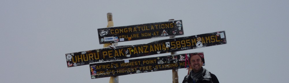
Here is a picture that someone took on the summit:

I so want to be stood where they are....
From the top, as long as the weather doesn’t hamper the view, there will be views of Makalu, Lhotse, Kangchenjunga (three of the five highest mountains on the planet). Everest itself will be hidden behind Lhotse, which at 8,500m or so, will still tower some 2.5km above us, even at the height we are at. Staggering!
The descent is an abseil down from the summit ridge over the headwall, and back over the glacier. Apparently there are potentially crevasses which may need the use of ladders to get over.
From there the trek back goes back over what is apparently a really fantastic ridge to a place called Phunki Tenga, and then eventually back to Namche Bazaar and the airport at Lukla. That will be day 20 of the trek, so there is a huge amount to get done in that time, including Everest Base Camp on the way.
If I told you here and now that I was excited about this, then it would be the biggest understatement that I may have ever made. I actually never thought after Kilimanjaro that I could ever rekindle the feelings that I had then. Little did I know that I would be doing this so soon afterwards, or that it would be as much of a thrill as it is to be heading out to the Himalayas.
So that’s Island Peak then. It is beyond my ability level, and will be way beyond my comfort zone when I am there, no matter what I do between here and then. I want to push myself though, as hard as I can, and this will not, I already know (or should I say I hope!), be my last trip to the Himalayas……….
Bring it on – I am already counting down the days.
