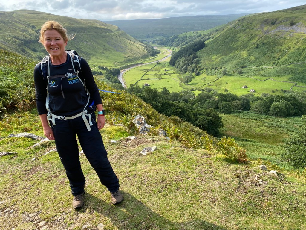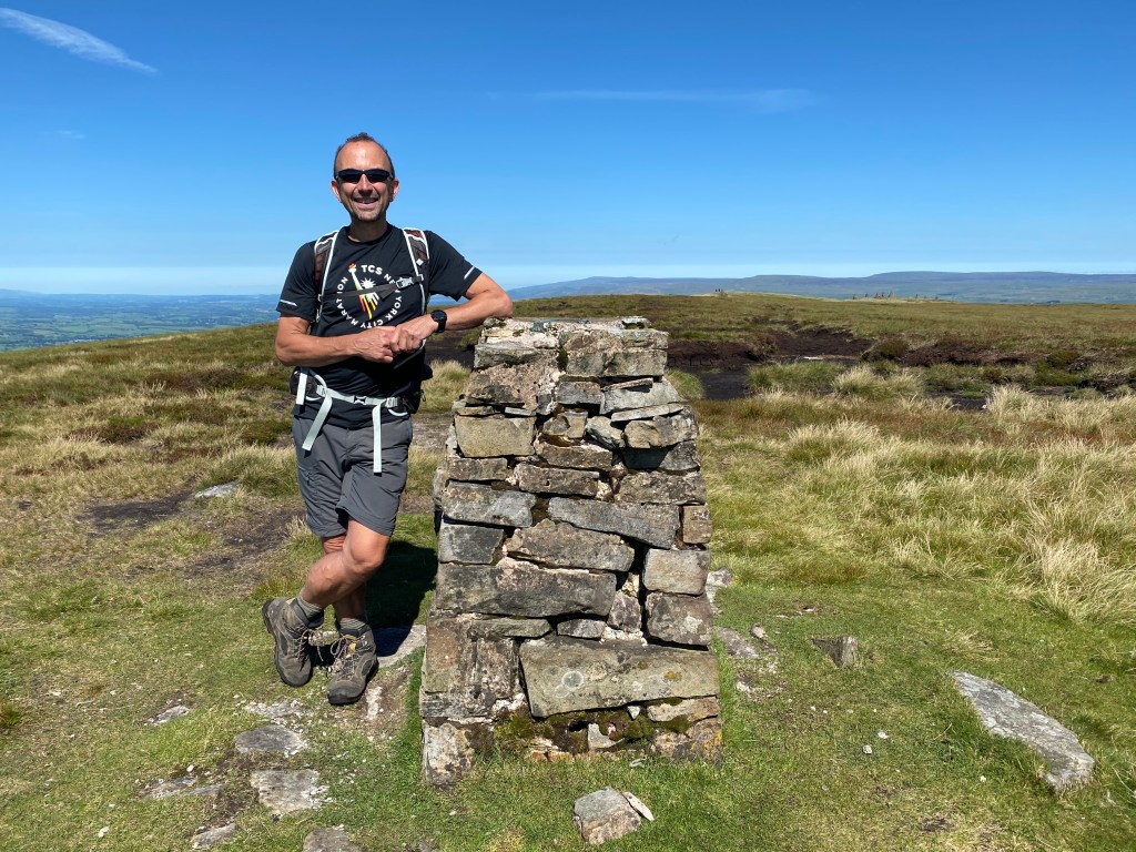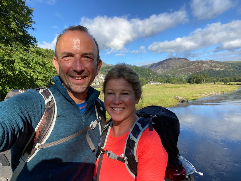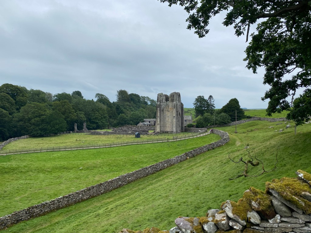
Day 10 was a simply brilliant day in every single aspect. It started from the very charming hamlet of Ingleby Arncliffe and ended in the North York Moors at a village called Great Broughton (or so we thought, see later on!). Only a short stage of 12 or so miles, it was nonetheless full of ups and downs.
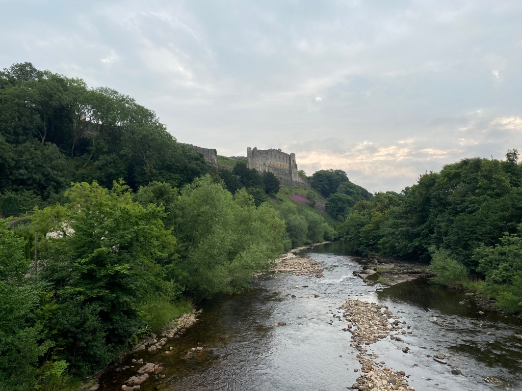
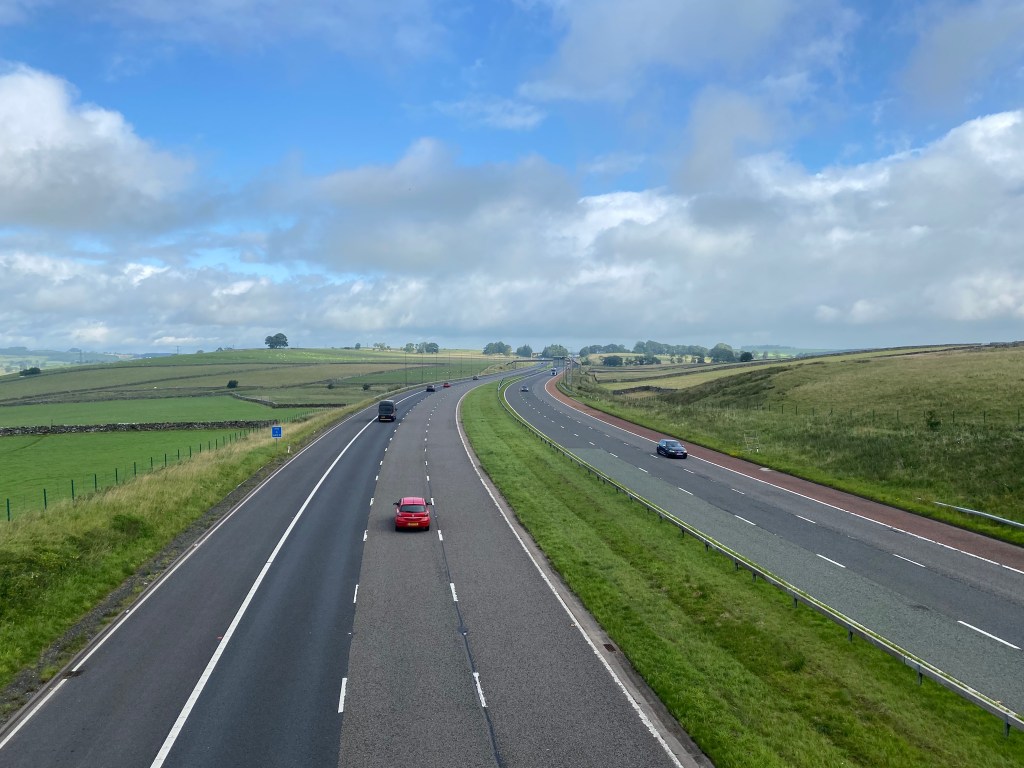
Despite the shortness of the stage, we had seen the profile and knew this would be a testing day, described as ‘Difficult’ in the Mac’s Adventures, and with over 3,000 feet of ascent. We’d also get onto the North York Moors for the first time today – we’d seen them looming towards us all of yesterday’s flat stage from Reeth to Richmond. I was really looking forward to getting up there.
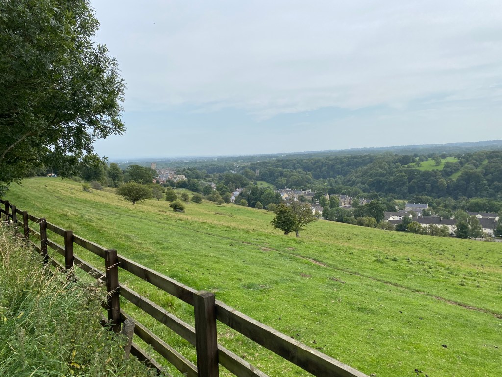
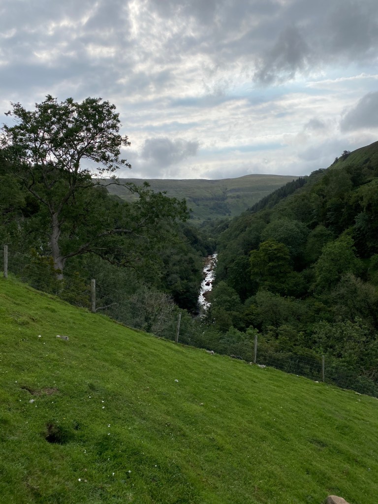
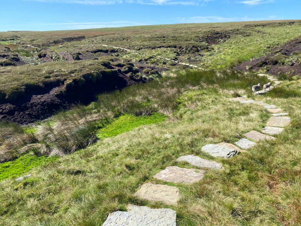
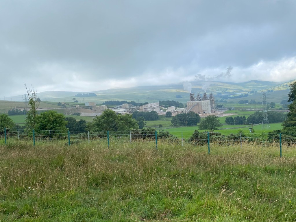
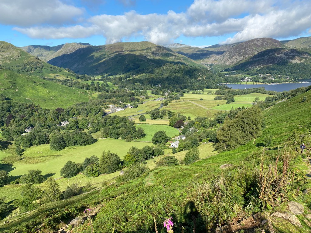
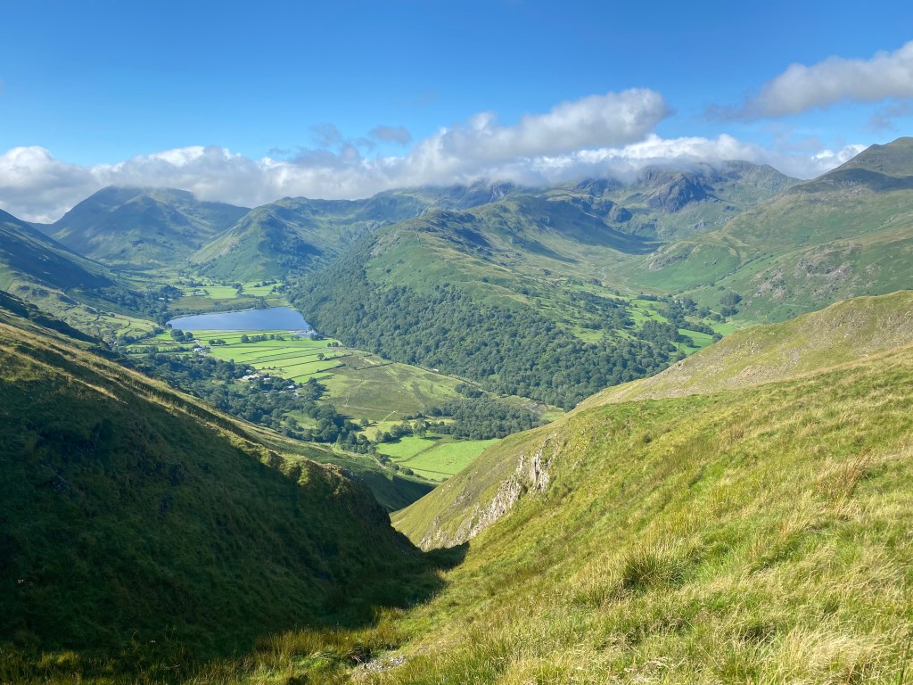
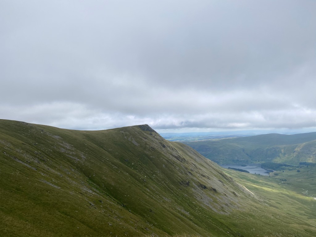
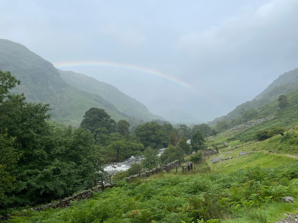
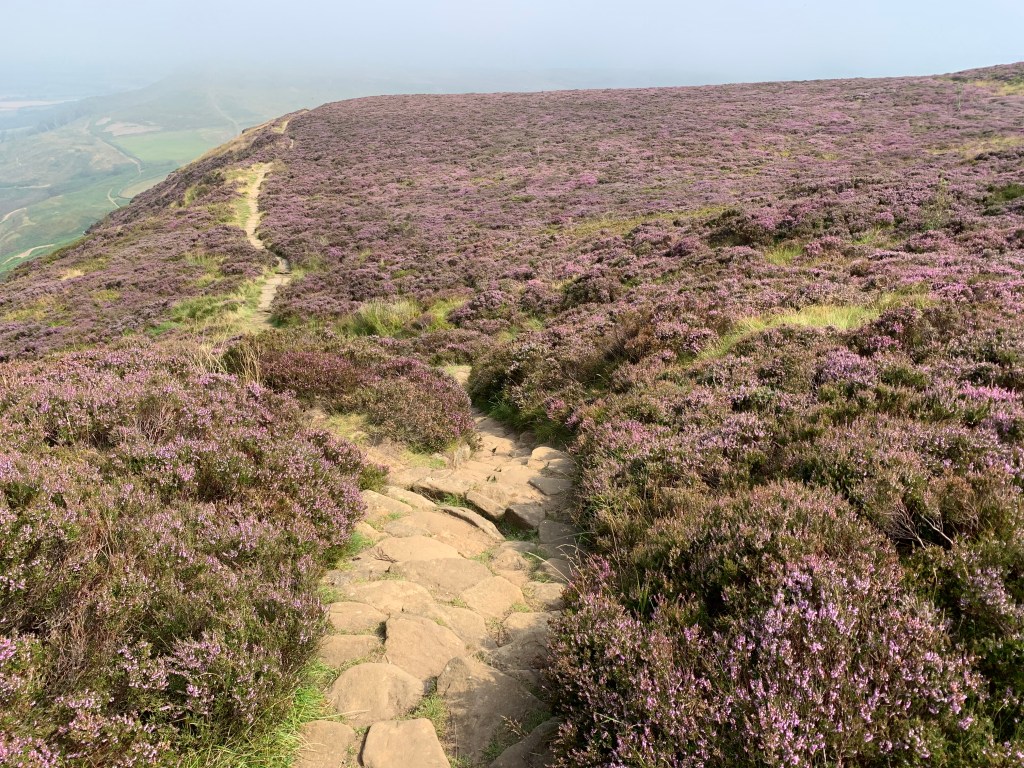
Covering an area of about 550 square miles, the North York Moors is one of the largest expanses of heather moorland anywhere, certainly in the UK. I’d been over here just once before, when cycling the Coast to Coast about 4 years ago, and remembered more than anything just how lumpy it was. There are a large number of hills and dales, and we’d cross quite a few of them in the now final three days of our trek.
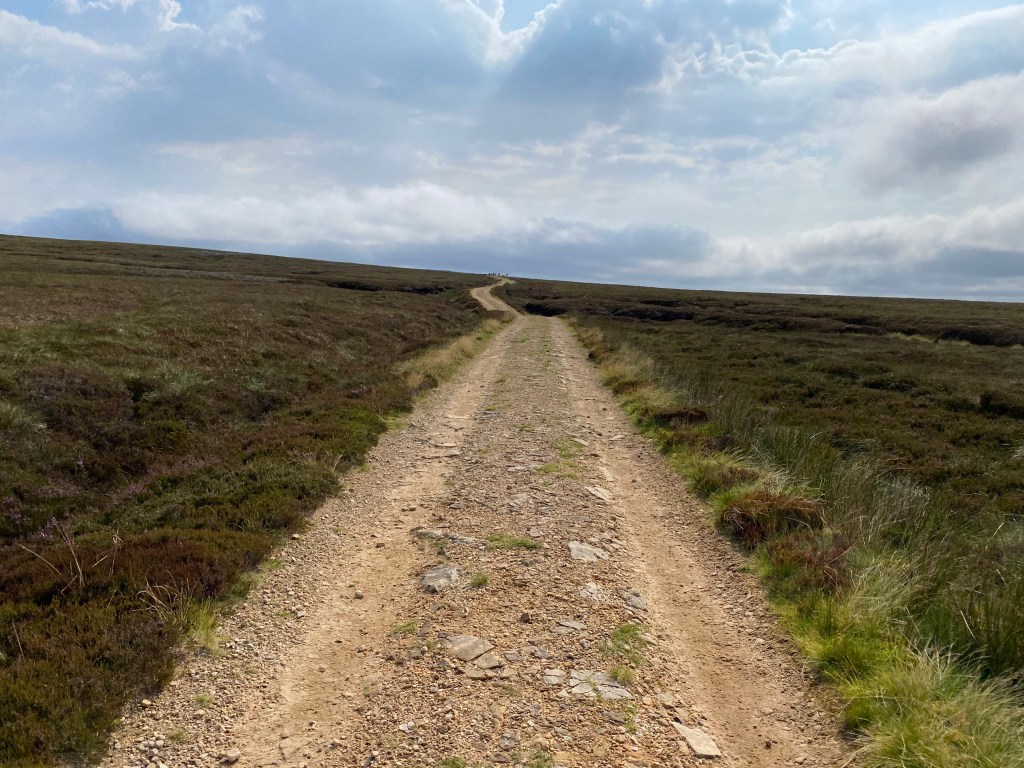
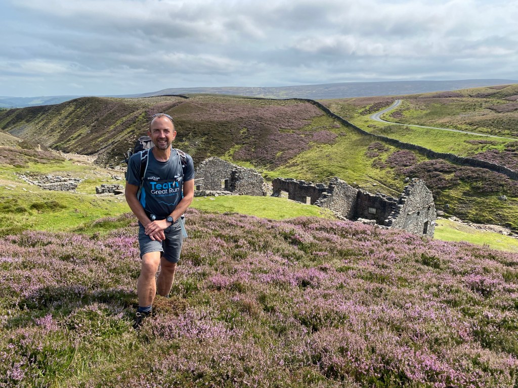
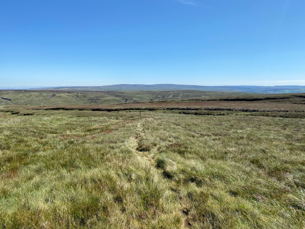
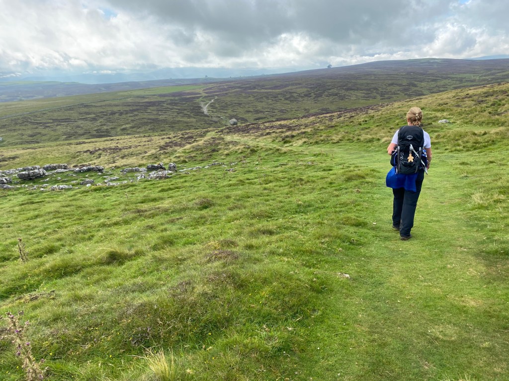
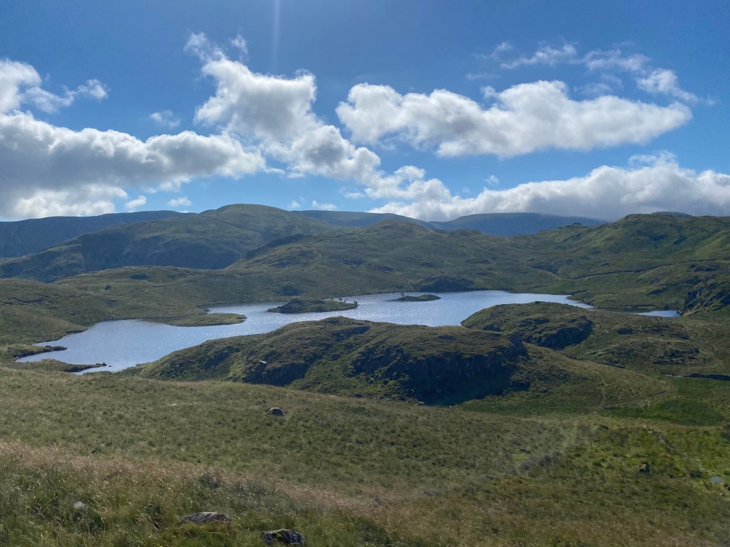
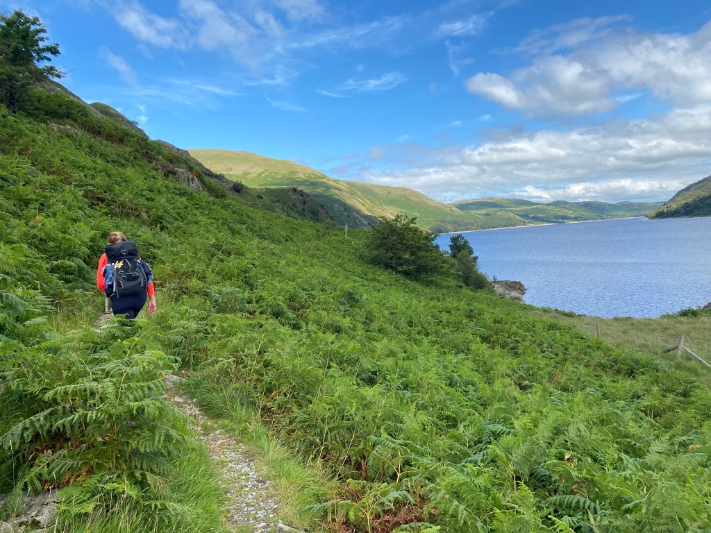
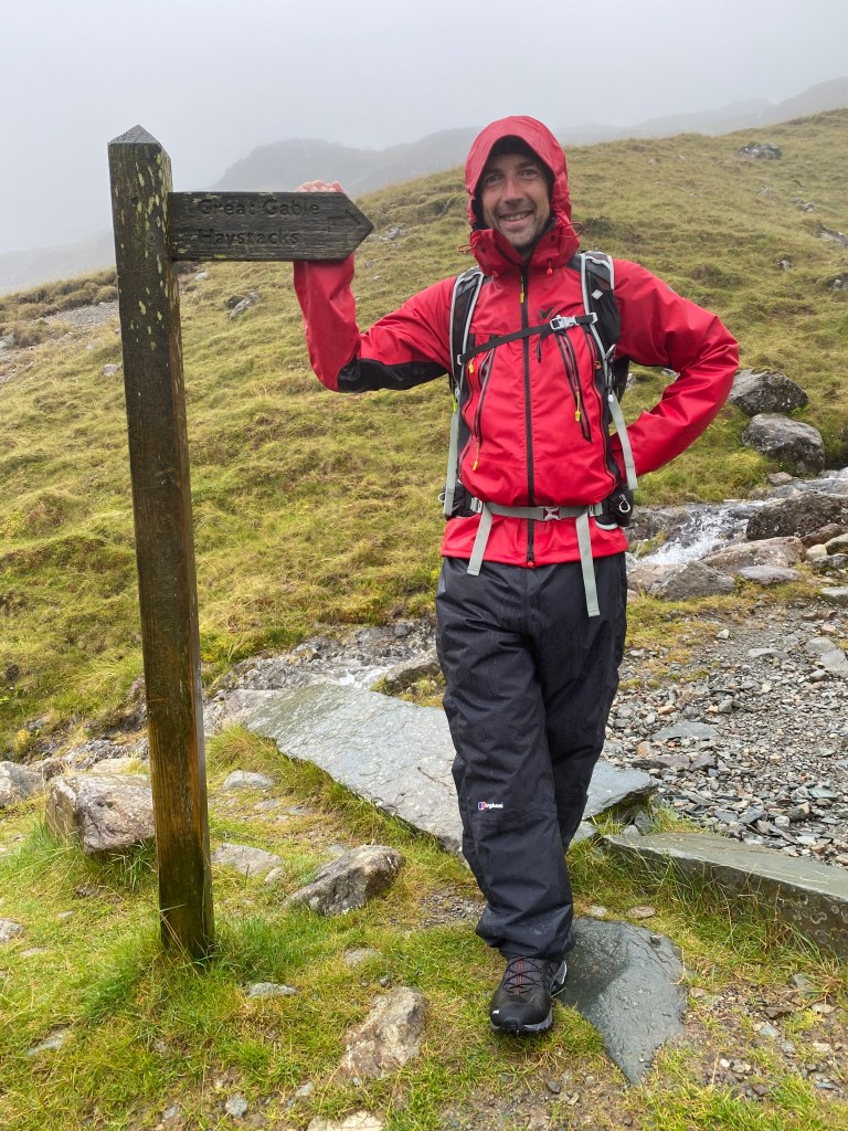
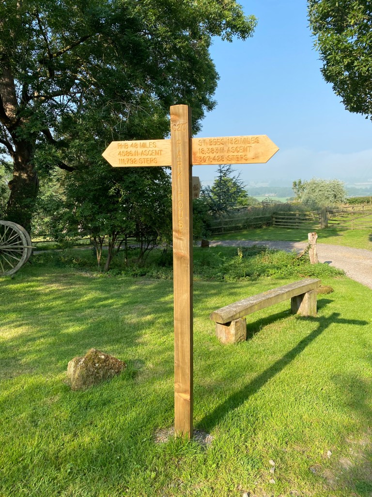
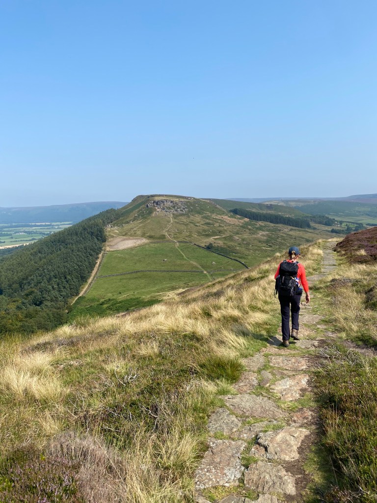
Setting out past the Blue Bell, the pub we’d eaten in the night before, the path turned up through Arncliffe Woods and then quite steeply up before hitting the moorland. We were lucky in that the weather was quite glorious, and en route we passed a “48 miles to Robin Hood’s Bay” sign. Reaching the first moor, Scarth Wood I think, the expanses of heather seemed to stretch on for ever, and almost on cue some wisps of mist rolled in. It was like being on the set of An American Werewolf or the like.
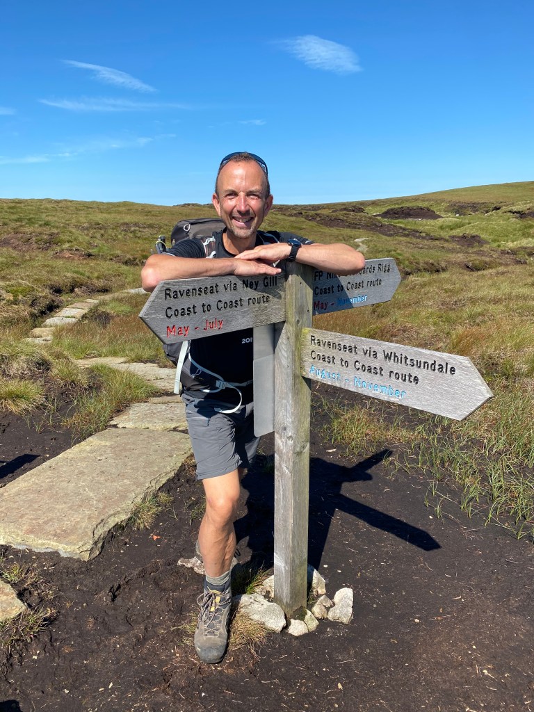
The other notable thing about this day was the fact that at around about Scarth Wood, three paths coincided – The Coast to Coast, The Cleveland Way, and the Lake Wake Walk. We would follow the signs for the Cleveland Way in fact for most of the next two days.
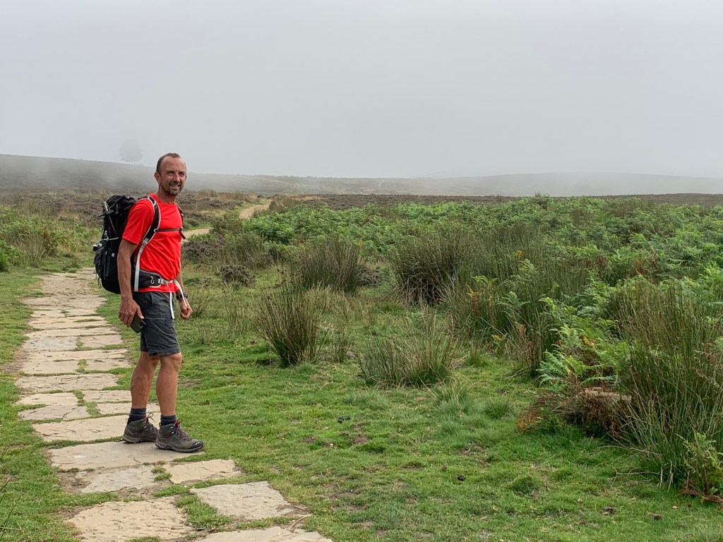
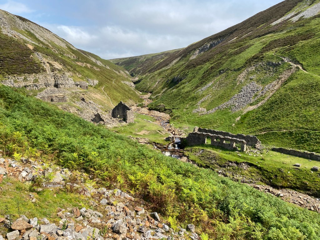
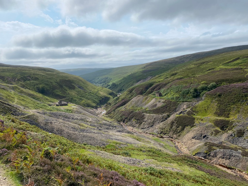
There followed around four hills, none particularly steep or long, but all ones which got your heart racing a bit. Mid way through the day we also passed a hangliding club at the top of one of the hills, and there were about half a dozen seemingly very happy souls up riding the thermals and enjoying the fine day.
More notably though, we passed and were passed by on this day ‘Biscuit’ and his owner. Now Biscuit was a lovely dog who we had seen as early as day three on our way down to Grasmere, and her owner helped us across a raging stream. We’d seen them a fair few times along the way too, as you do with fellow C2Cers. They were on their way this day to Blakey Ridge, ahead of us. The guy was lovely, and was trying to get back home on the Friday – we hope they made it safely – Biscuit was one of our highlights of the trip and I wish I had a photo to share here for posterity.
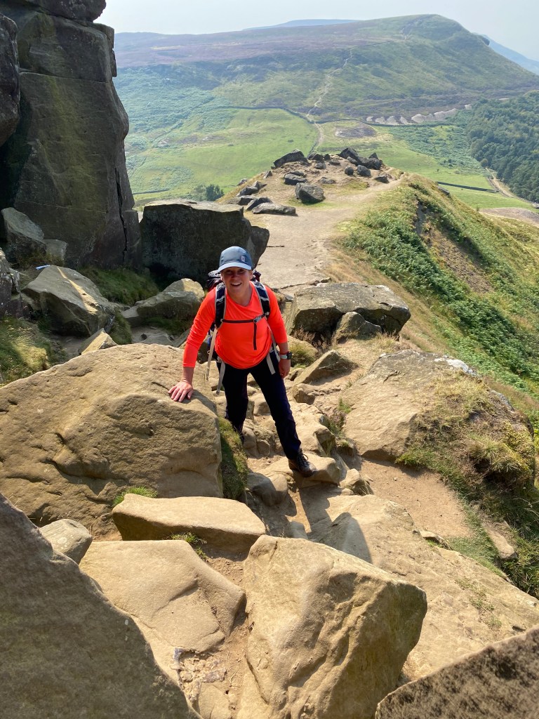
Not long before we got to the Wainstones themselves at about mile 11, I’d looked at my Macs Adventures map and details, and there was a note on there to say ‘when approaching the Wainstones, phone your hotel who will come and collect you from Clay Bank Top car park’. I thought this a bit odd, but then realised that where the walk finished was about three miles from Great Broughton in the wrong direction, and that furthermore, Great Broughton was not on the Coast to Coast path! It also said that they’d come and bring us back the following day, so therefore it didn’t feel like cheating at all.
Our hotel, The Wainstones, looked from the website like it was a bit grand for us, but it proved I have to say quite the opposite. In fact it was the most tired place we stayed in the whole trip and not a place we’d recommend. Also the temperature in the bedroom was close to that of the surface of the sun, and sleeping was not at all easy. I was determined not to eat there in fact, and damaged to find a brilliant little pub in the village called the Jet Miners – the food (and everything about it) was outrageously good, and the best of the whole trip, so I was prompted (by myself this time!) to write a Tripadvisor review right away:
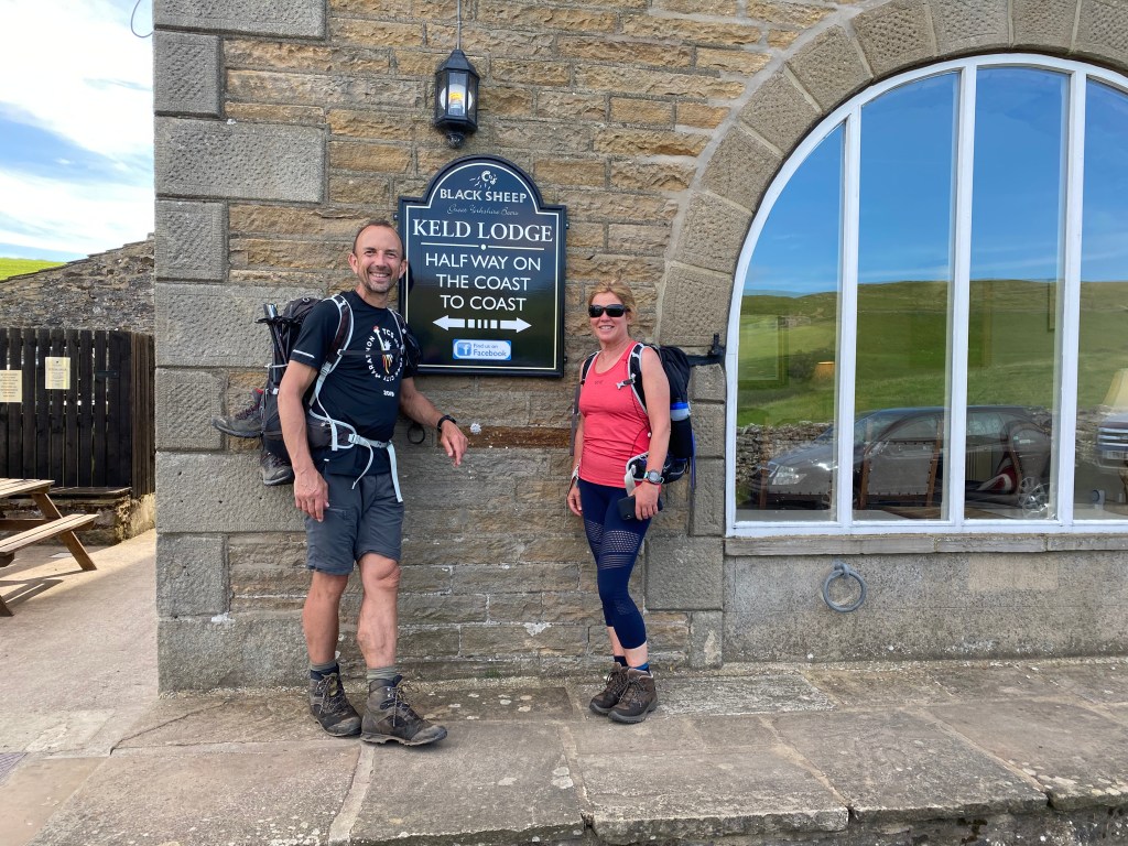
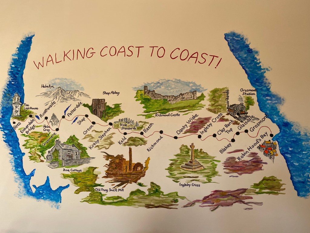
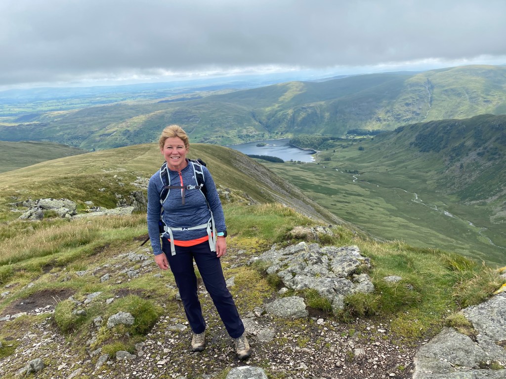
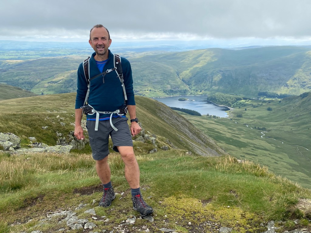
So we were now down to just two days left – time had flown, and we had walked already about 160 miles. The next day was also right through and over the moors to Glaisdale, and what a totally different (in practically every respect) it would prove to be. But every day is a massive adventure on this walk, and you just have to live every moment and totally embrace them all.