On the weekend of the 7th/8th June, I took part in the ’24 Peaks Challenge’, an organised/guided trek over 24 Lakeland peaks all over 2,400 feet, inside 24 hours. The challenge is spread over two days, with approximately 12 hours of trekking each day, and 10 mountains the first day, followed by 14 the next. The event was run by Global Adventure Challenges, an organisation I hadn’t come across before, but who were great, and I’d certainly use again.
The weekend was supposed to start by being picked in Penrith railway station at 5.30 on the Friday afternoon, but unfortunately a lorry fire on the M6 and a massive 15 mile tailback put paid to that for me and for most of the other attendees. In the end I was instructed to drive straight to our base for the weekend, the Youth Hostel in Ambleside. I got there after about a seven hour drive, which should have taken four.
We were eight people altogether, and all met over an initial drink. Sener (who was to have made a wise choice by electing to not stay in the Youth Hostel but in the 4 star hotel next door – more of that later), David, Peter, Ian, Jane, Lucilia, Margaret, and yours truly. No-one had met anyone else before with the exception of Peter and Margaret, who were there to celebrate their 40th Wedding Anniversary! After everyone had assembled, and all moaned about the same traffic jam that I was stuck in, we got fed and settled in before our briefing for the next day.
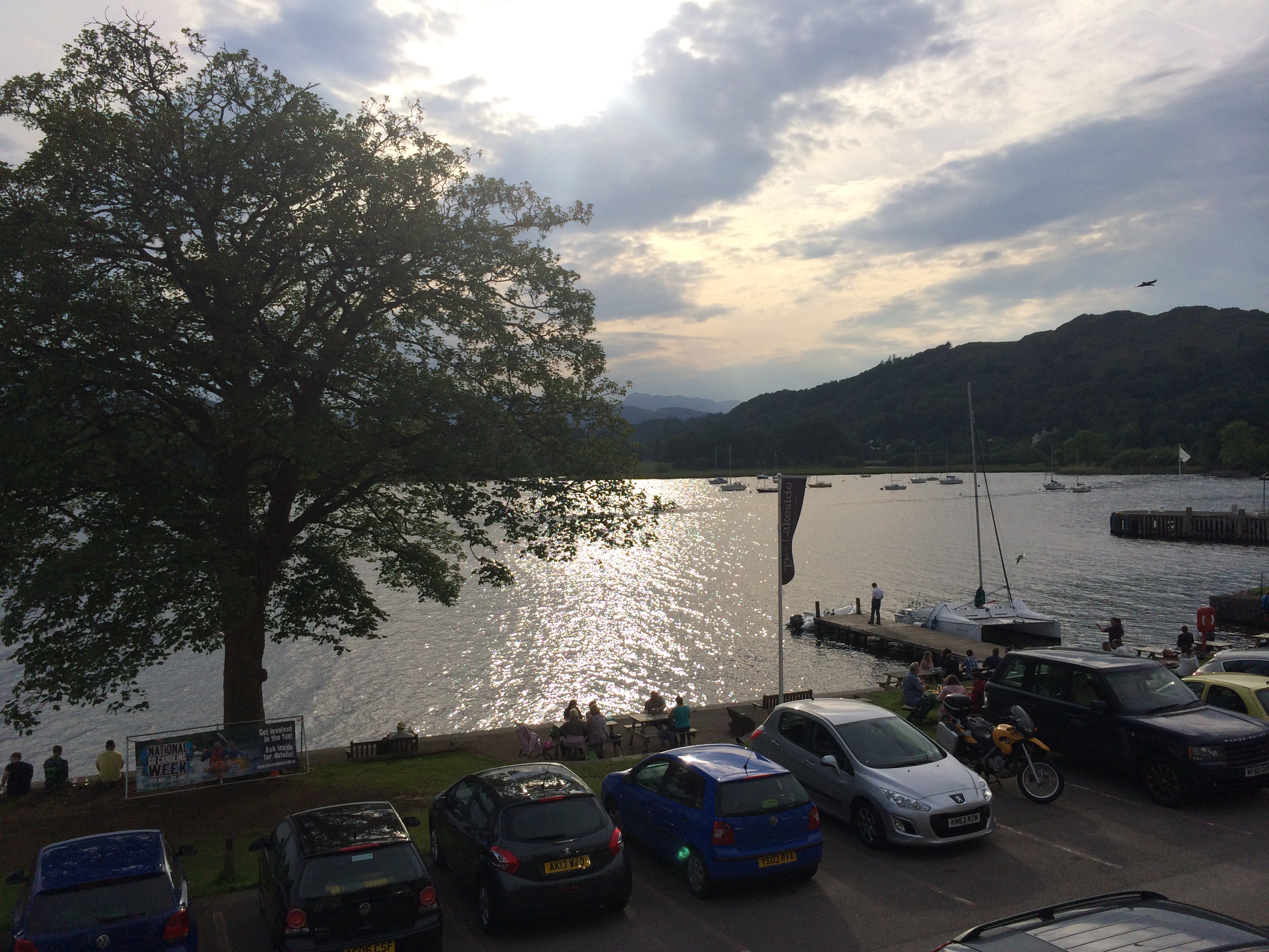
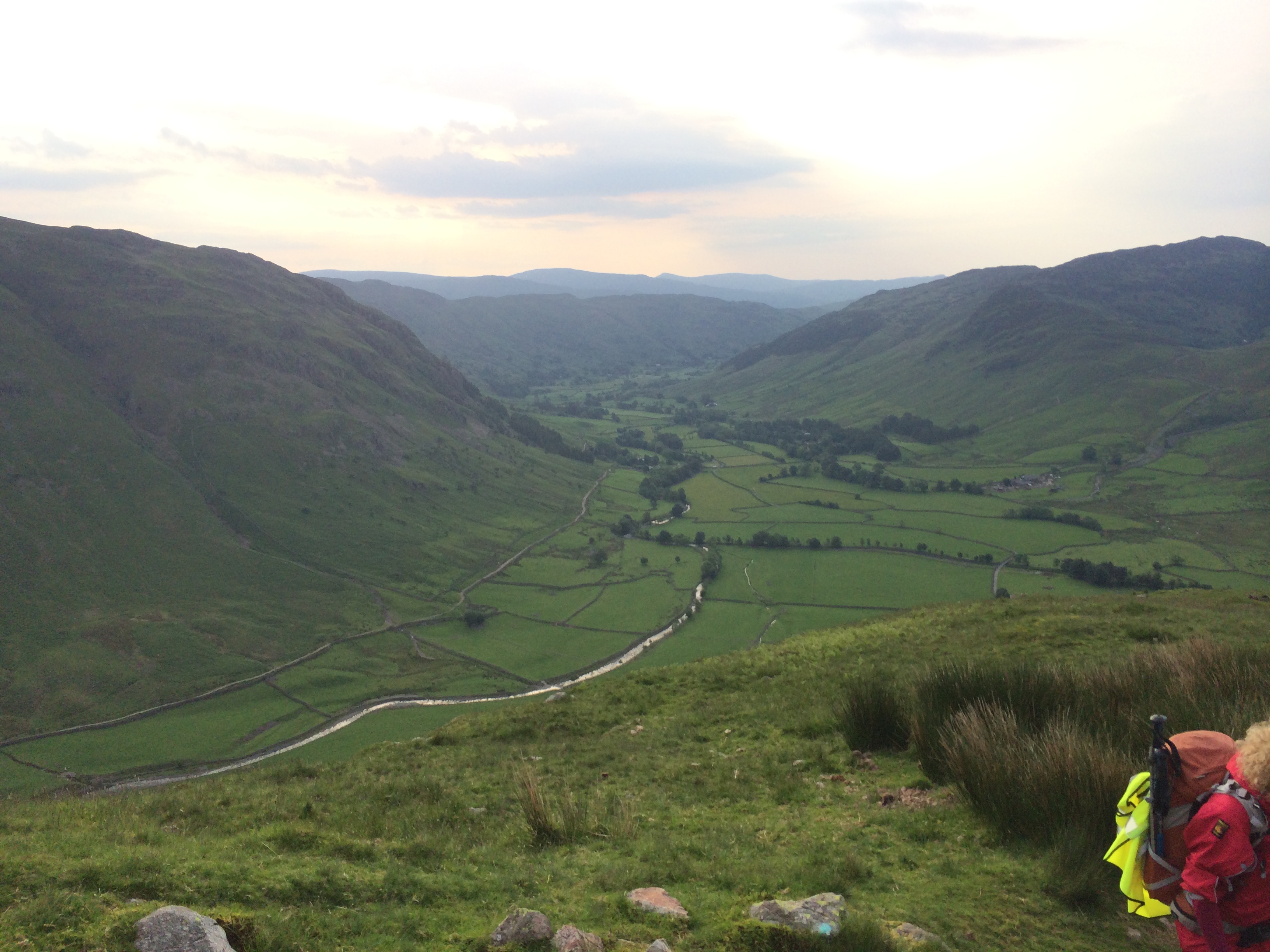
View over the north side of Windermere towards the Langdales upon arrival at the YHA.
Our guides from Global Adventures were Kate and Matt, and our driver Jim. The very comprehensive briefing told us, amongst other things, we needed to be ready with our boots on at 4.45 the next morning, so that meant a very early night for us all. The forecast for the next day didn’t look good, with the prospect of “rain, with monsoon-like outbursts”. I was glad I had all of my waterpoofs with me, and a spare pair of boots too just in case for day 2.
Whilst Ambleside Youth Hostel is in a beautiful location on the shores of Windermere, and with great facilities, unfortunately, youth hostels aren’t really known for being the most quiet of environments, and this one was no exception. In the dormitory above our room were an unknown number of children, who couldn’t have made more noise had they been an unknown number of elephants. I feared at one point in time that the ceiling would come in, or the whole building would collapse, under the barrage of crashing around that was going on. Two of our dorm went to try to ‘have a quiet word’, but it didn’t seem to do an awful lot of good. I normally sleep like a corpse, but this was just impossible. Kids will be kids, I suppose!
The next morning came around way too quickly, but we were all soon tucking into breakfast rolls and cereal, and making packed lunches, ready for the day ahead. Stepping initially out of the Youth Hostel at about 5.30am, the weather was glorious, and the lake serene and calm. The calm before the storm perhaps? We would find out……
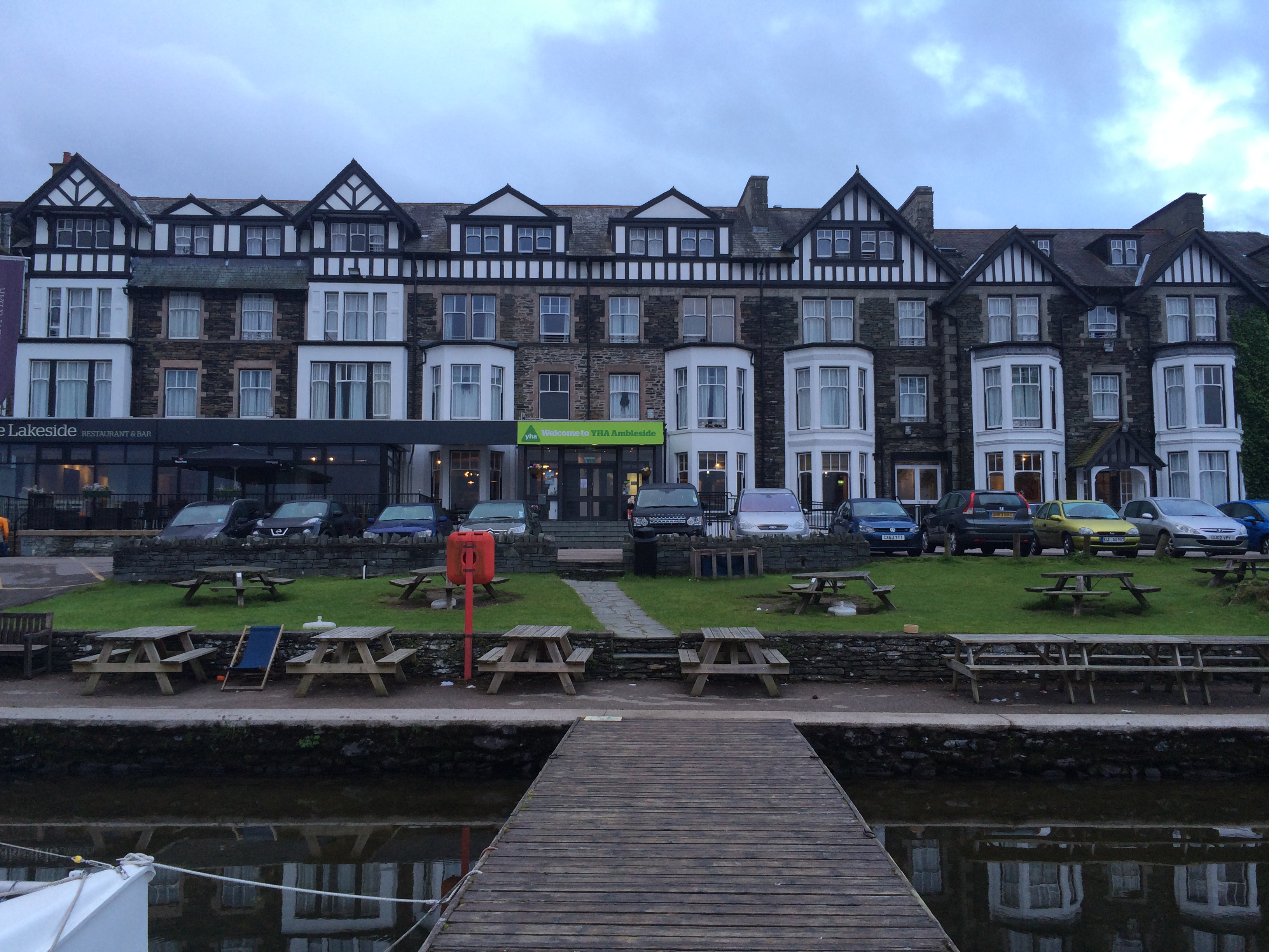
Ambleside Youth Hostel – a really great location overall – I stayed there only once before, when I was 16!
After a half hour drive to the Langdale Valley, we emerged in warm and sultry conditions (T shirts in fact, weird for the Lake District at all, never mind before 6am), and began our first climb of the day, up ‘The Band’, which would lead us to the first of the 24 peaks, Bowfell. Approximately two hours later, everyone stood proudly just below 3,000 feet, and were happy that a.) it was one down, and ‘just 23’ to go, and b.) that the rapidly approaching clouds from the South had not as yet unleashed anything in our direction.
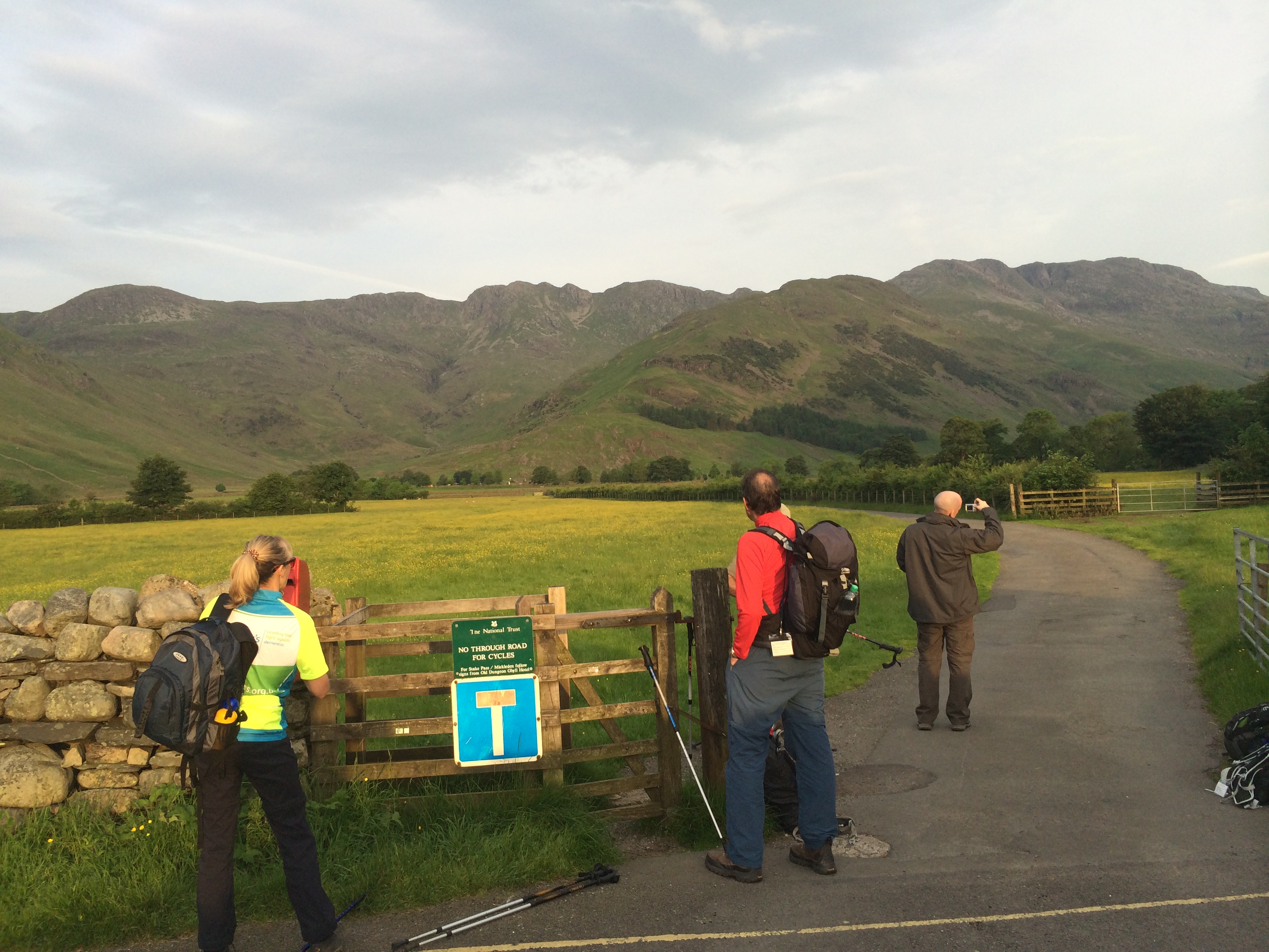
Ready to go! About 5.55am looking towards the Band, and Bowfell, unseen in picture.
And looking back down from the top of the Band towards the Langdale valley.
Over the course of the next two peaks, Esk Pike and Great End, the weather began dominating evertyone’s conversation, with some people saying “we might just be lucky you know”, and others including me (I’m a pessimist when it comes to these things) expecting a bit of a bath. I’ve been up in Cumbria enough times to know that it isn’t called the Lake District for nothing. I also knew that we were in very close proximity to Seathwaite (which would be the finishing point of day one) and this is the wettest place in England, with an annual rainfall of about 125 inches. It was going to rain!
And towards the top of Bowfell, looking towards Scafell Pike in the distance.
By the time we got to Allen Crags, peak 4, one of the guides, Matt, suggested we all get our waterproofs on, “now”. At first even I thought twice, if only as I hate having waterpoofs on on warm days unless I really have to. Within less than five minutes however (I guess he’s not a guide for nothing :)) it had started. And it started with hail, and with massive cold gusts of wind. Within five minutes more, despite having on now four layers of clothes, woolly hat, two pairs of gloves, and waterproof overtrousers, I was actually cold.
This is actually one of the last pictures I took all day, somewhere around Broad Crag, I think.
We all trudged on in the general direction (compasses out now for Kate and Matt) of Scafell Pike, England’s highest point, if now lost in the squall of relentless lashing rain and cloud that we were enveloped in. I began to think that our day would end at four peaks, and that the only thing to do from here would be to descend (and if I’d been on my own at this point I probably would have done), but we ploughed through it, thinking it may be just a shower or two. The next two peaks, Broad Crag, and Ill Crag, were memorable for the fact that I didn’t see either of them at any point, other than as piles of stones beneath my feet. The wind and rain were relentless and almost overpowering. I was beginning to already think that I didn’t have enough clothing with me.
Amazingly when we reached the gully just before the approach to the summit of Scafell Pike, the clouds suddenly lifted. Kate told us it was all due to ‘orographic lifting’ or something like that. Whatever it was, it was very strange, but very welcome, and we got to summit peak number 7 of the day without precipitation, and a part view to Wasdale Head way below. The view for me was significant, as in two weeks’ time I’d be approaching by that route in the middle of the night during the Three Peaks Challenge. I was already wishing that I only had three peaks to face this weekend, instead of another 16 being as wet as I already was.
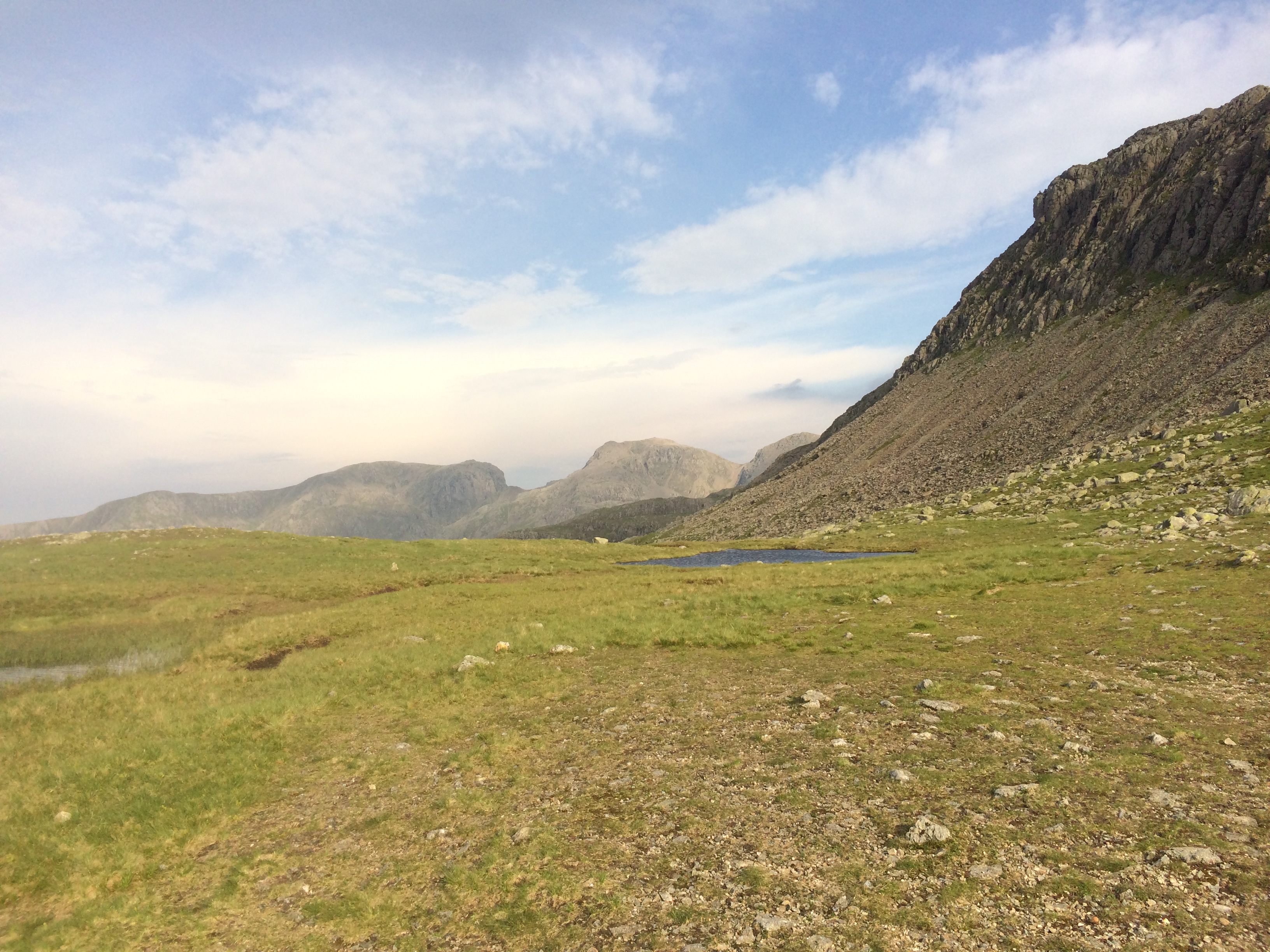
Great Gable (right) and Green Gable from just below Scafell Pike
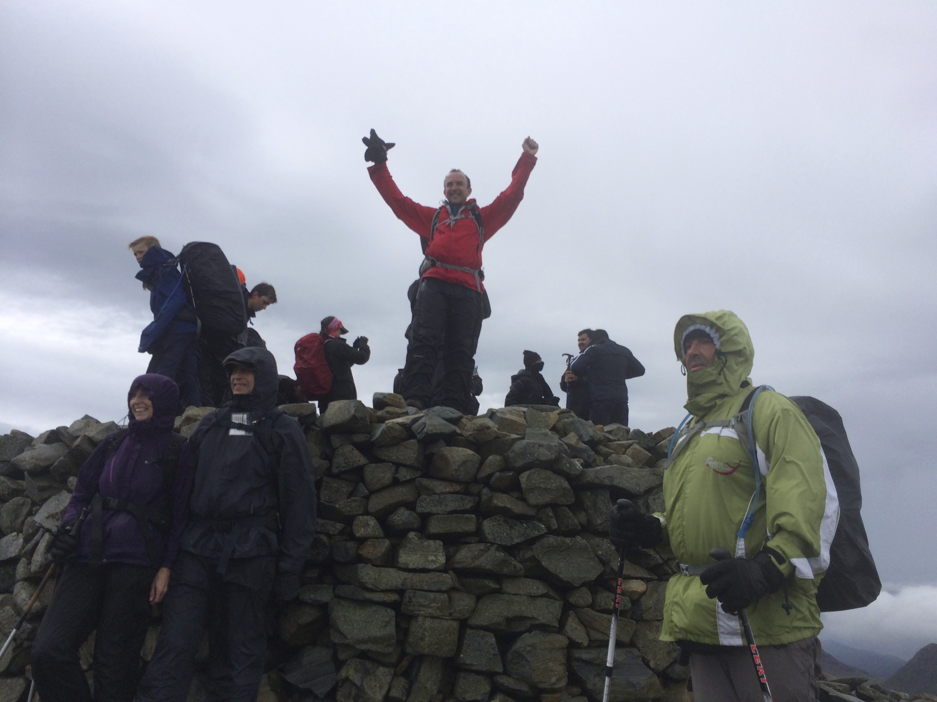
Summit of Scafell Pike (excuse the slightly over the top celebration!), Peter, Margaret and Sener in foreground.
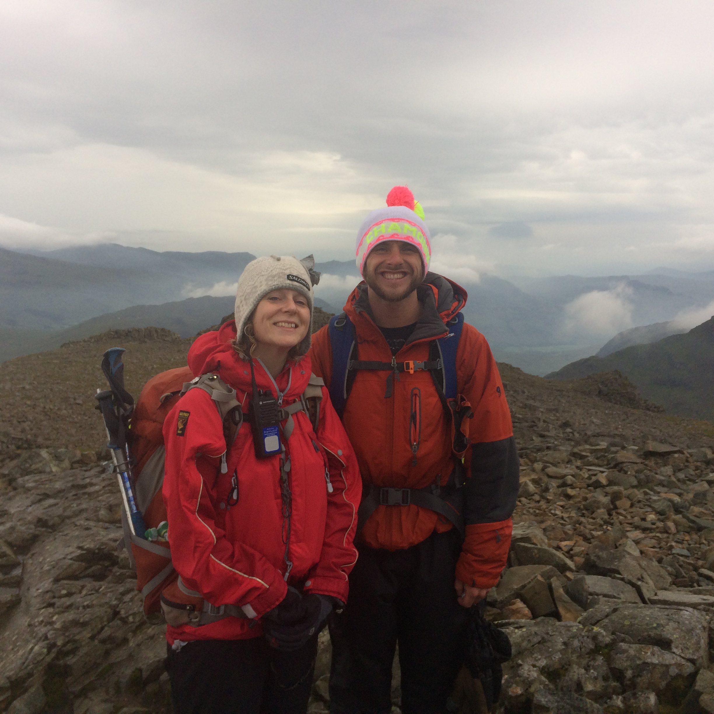
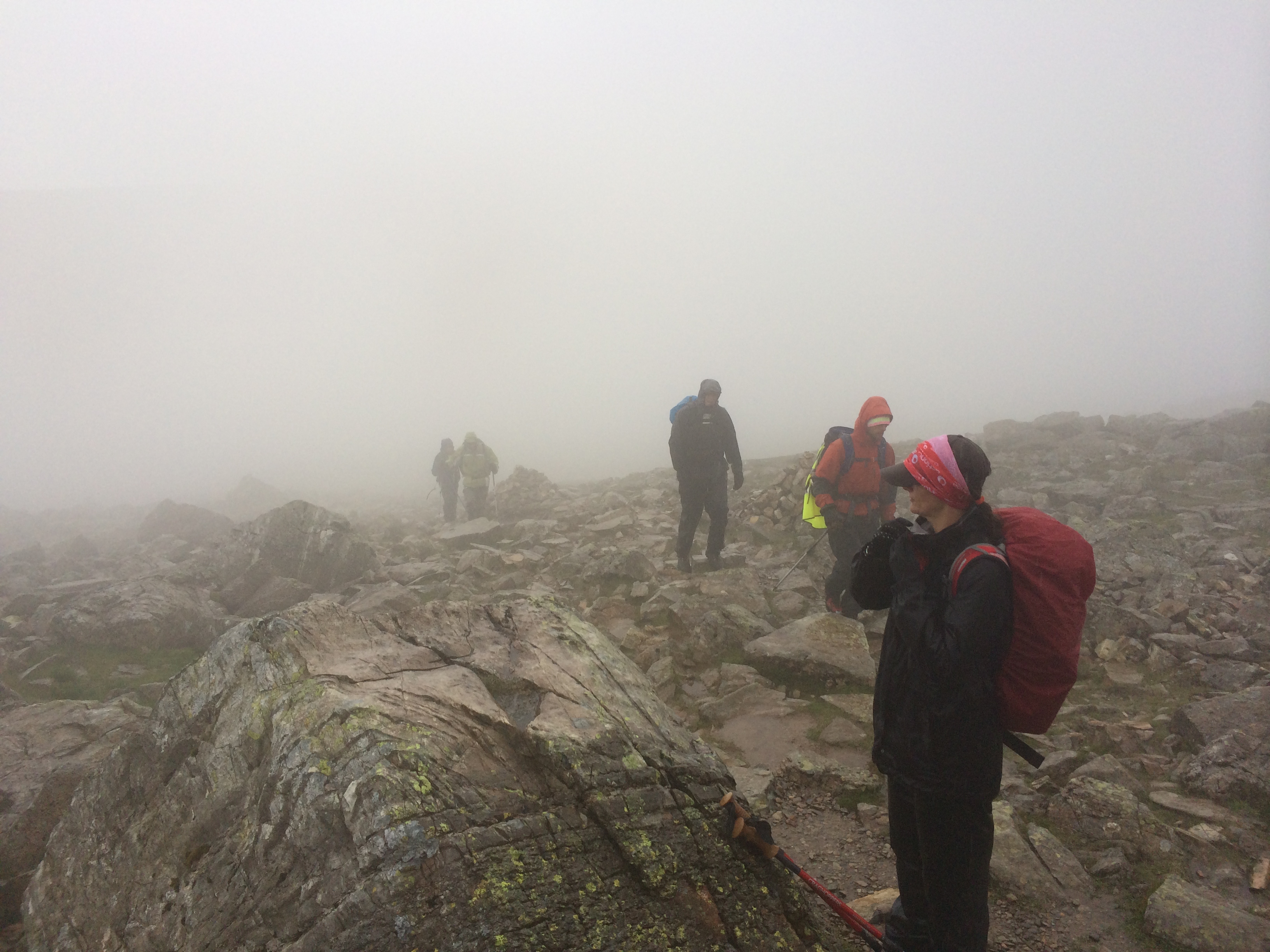
Our guides, Kate and Matt, Scafell Pike – they were happy too! As you can see, we were all dressed appropriately for this nice June weather.
Thankfully the rain kept off as we descended by the corridor route towards Styhead Tarn and towards peak 8, Lingmell, where we stopped for a well-earned devouring of our packed lunches. As Styhead Tran approached however, this was the last view of anything we would have all day, and the rains came back in persistent and powerful anger.

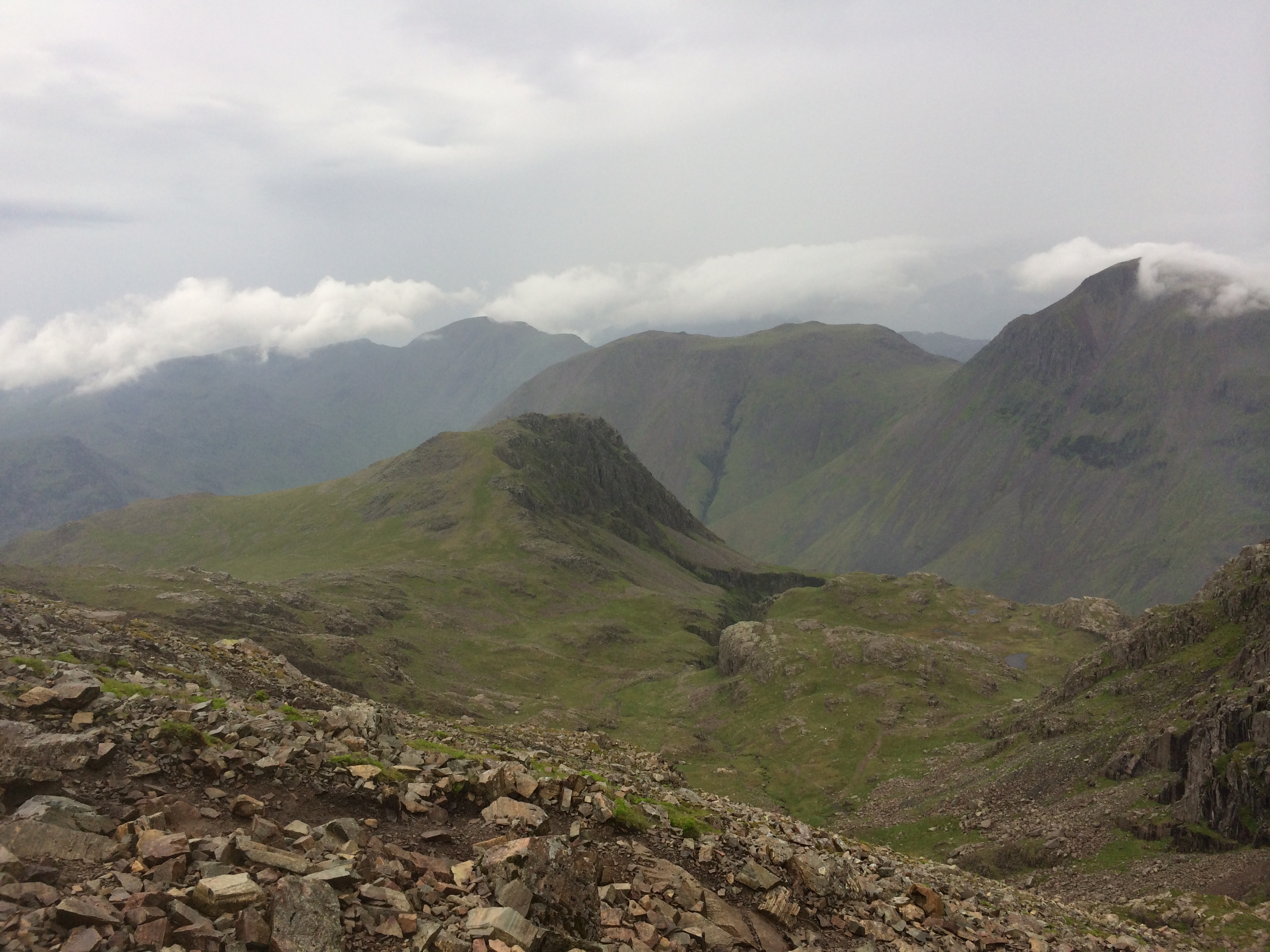
The corridor route down from Scafell Pike towards Great Gable – definitely the last time my camera came out of my bag!
The walk up Great Gable (one of my favourite mountains anywhere on this planet) was I can only describe as absolutely miserable. The rain hammered down, the wind was howling from the side (meaning rain just forced its way through your hood and down your neck and back), and the visibility was at best about five yards. Even cairns in front of you couldn’t be seen, and by the time we eventually made the top I was already mentally descended and anywhere else but there. Shame.
To get off of Great Gable and towards Windy Gap for the ascent of Green Gable was an exercise in brilliant mountain guiding from Matt and Kate. Armed with dual compasses, they got us down a steep scramble, through torrents of water, in a situation that would have otherwise have been perilous to say the least. I wouldn’t have been able to complete that part of the event with without them, it is as simple as that.
The final trudge up Green Gable was only slightly more pleasant than that of Great Gable, but only because it was shorter, and the wind was now behind us. Visibility was almost zero at times. I remember at one point seeing a poor dog walk past us. It looked like it had been practically drowned, and I only hope it got to find its owner and get a.) reunited and b.) spoilt rotten when they eventually got down. This weather was now for ducks only, and then brave and hardy ones at that.
Coming down the steep and slippy path back down to the far side of Styhead Tarn was an exercise in survival for most of the way, and I couldn’t wait to get down. The cloud level was practically below the tarn itself, although once we had passed this the cloud thankfully finally lifted, and by the time we had completed the further one and a half hour walk back to Seathwaite from here, the sun was practically out.
Everyone was back at the minibus by around 6pm, a long day since our early start, but happy that we had all got though it successfully, with ten peaks down, and ‘just fourteen to go’ the next day. The minibus took about an hour to get back to Ambleside, and sat in wet gear this wasn’t pleasant. Everyone was clearly exhausted too, and from what had been a lively day with lots of banter earlier on, I don’t think I heard anyone say a single word on the return journey. I sat and shivered, and was still shivering when back in the hostel by about 7.30pm.
Thankfully the showers in Ambleside Youth Hostel are magnificent, and I could have stood there under that hot steamy water for an hour or more. I can say that with the exception of the most memorable shower I ever had in my life (that which followed a week of grime up Kilimanjaro), this was probably the second most welcome. It just shows you that a day in June which started so warm can end up so different, and teaches you that you must always be prepared for bad weather in the mountains. I made a mental note after this day to always have one more layer with me than I think I might need, and have some more (or better) waterproof gloves too.
We were all glad when finally back to find that the Youth Hostel had a drying room, although unfortunately everyone else there had filled it full already, and it couldn’t cope with the amount of kit. I hung my stuff out anyway, hoping that by some miracle that by the time 4am the next day came around, it would have magically dried. I was to be disappointed….
Here are the stats from day one…..14.2 miles of ground covered, and 5,700 feet of ascent:
http://www.strava.com/activities/151189307
