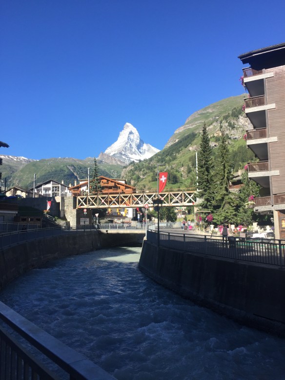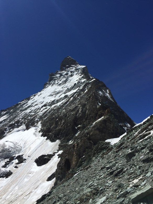
So waking on day two (of two) in Zermatt itself, at about 1,750m, in a hotel, and not in a mountain hut some 1,000m higher up has its advantages. One, you get a nice shower; two, you get a nice comfy bed; three, you don’t get woken up about twenty times in the night by other climbers in your dormitory shuffling and snoring; and four, you get, if you are really really lucky, a view like this from your own balcony:
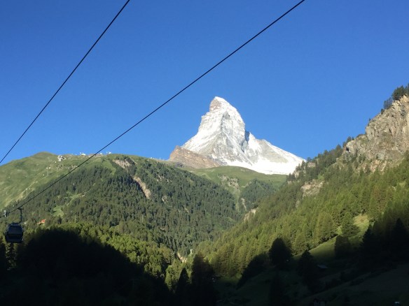
How stunning is that for a sight to wake up to? I didn’t want to leave the hotel!
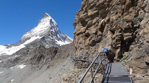
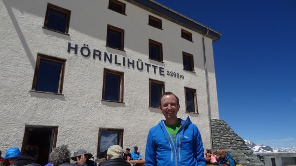
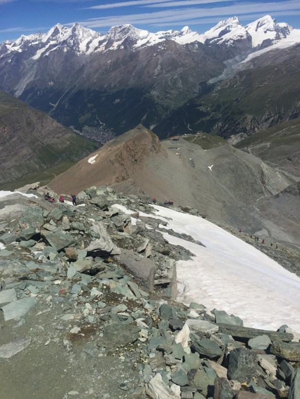
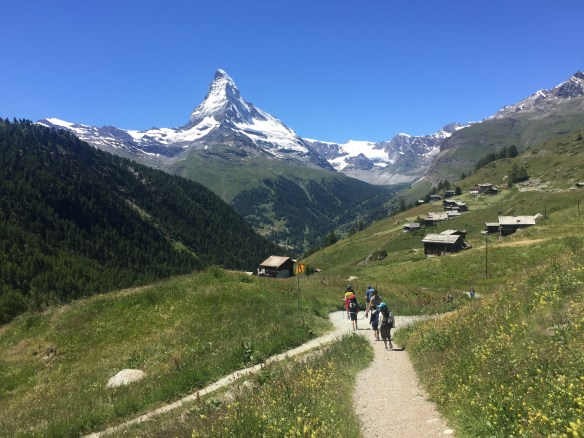
So today we had planned a much easier trek than the one the day before, which had seen us do about 22km in total, including a climb to about 3,260m on the north-east ridge of the Matterhorn. Today we’d take in a couple of the tourist paths on the other side of Zermatt, the Marmot Trail and the ‘5-Seenweg’, literally the ‘5 lakes trail’.
From the top end of the town (the south, geographically) we walked through town, grabbing breakfast on the way, to the north eastern side, and the rothorn funicular railway. This takes you up entirely inside the mountain in about three minutes to the Sunegga area at about 2,300m. This can be seen in the left middle of the map link below: http://www.matterhornparadise.ch/pdf/panoramakarten/panoramakarte_sommer.pdf
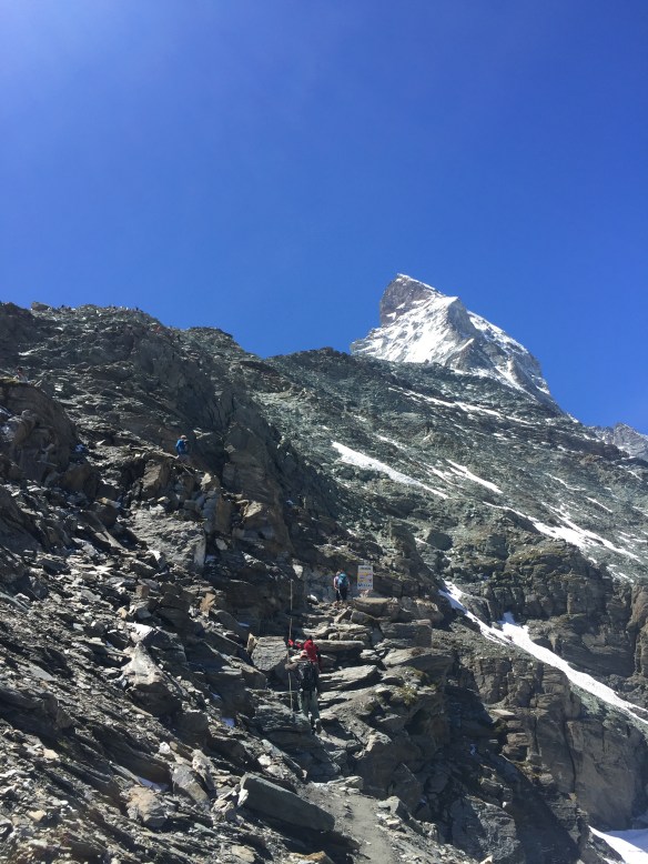
Blessed again by absolutely cloudless skies like the day before, and even warmer conditions, we set off firstly up the Marmot Trail, (we didn’t see any today unfortunately, but we had the day before) which is numbered 8 on the map.
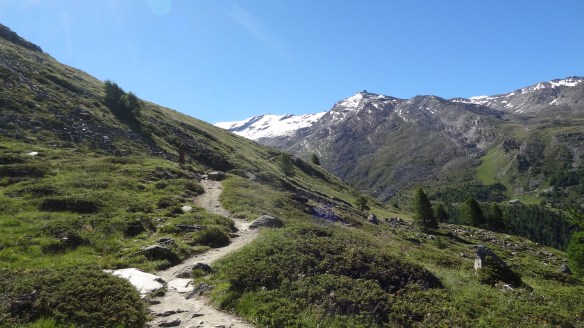
The Marmot Trail – a different and lovely side of Zermatt.
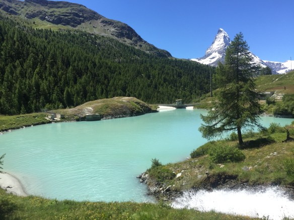
Then from the Blauherd cable car station at 2,571m we began on the 5-seenweg trail. The first lake, the Stellisee, is absolutely stunning, as you can see from the picture below: We stayed there for a while just to take it all in, as did many other people, it seems to be a bit of a tourist trap, and quite frankly why shoudn’t it be? It’s a natural lake, and just beautiful.
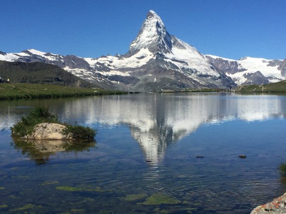
The Stellisee, at 2,537m. I can see why it is so incredibly popular!
Upon leaving the Stellisee towards the next lake, the Grindjisee, the path takes a pretty sharp descent. At this point Verena decided that her knee, which had been giving her problems on the latter half of yesterday’s walk, was too painful to continue with the rest of the walk. She therefore suggested that I carry on with the rest of the lakes, and she made her way back to the Sunnega cable car, only about 20 minutes away. After checking she was ok and could make it on her own, I took her up on her offer, and carried on.
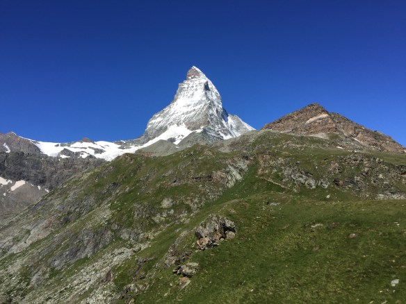
The Grindjisee is at about 2,350m, and is a small and very tranquil place. You’d probably never come across it if you weren’t looking for it in fact. It was in a really pretty area though, and of course you could see a reflection of the Matterhorn in the surface of the lake, what more do you need!
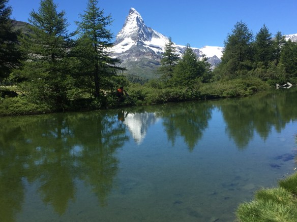
The Grindjisee, tranquil and stunningly beautiful in equal measures.
From the Grindjisee the walk is mostly flat for about three miles until you get to the Grünsee, which doesn’t have reflections of the Matterhorn, but you can still see it :).
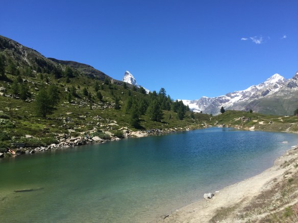
The Grünsee – three down, two to go!
There was then a pretty steep and narrow trail through the woods towards the Moosjisee, a seemingly man made affair, but stunningly green in colour:
The Moosjisee – and there’s that mountain again!
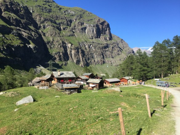
The Moosjisee is the lowest of the five lakes, and from there after another brief descent with stunning views back towards Zermatt itself, there is a bit of a climb back up to the Leisee, which I unfortunately didn’t photograph.
The walk towards the Leisee, with some very pretty hillside hamlets en route.
Having got back to the Sunegga cablecar station, Verena was thankfully there waiting for me and her knee was fine. There would be no more walking for her though, and so we decided to have lunch at the very lovely mountain restaurant by the Sunegga, it would have been rude not to really! So a beer, a rösti, and some very pleasant views were the order of the day:
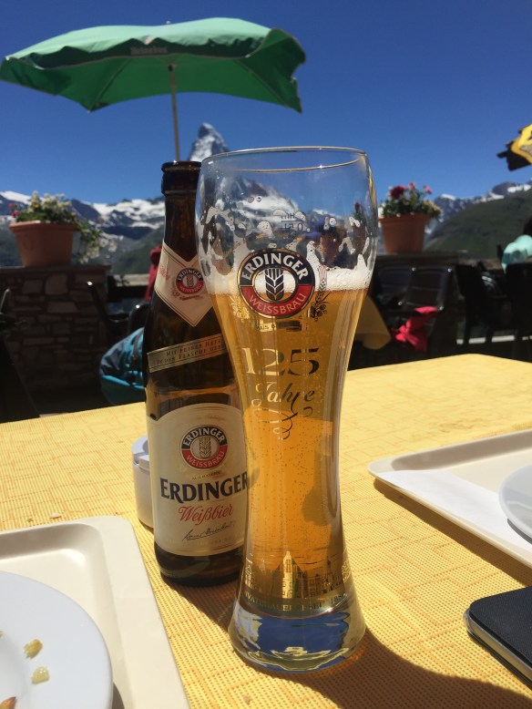
Now that’s the way to end a walk!
The 5-Seenweg walk is about two and a half to three hours overall, and well worth it if you are visiting in summer.
After lunch we took the funicular railway back down to Zermatt before a bit of shopping before heading back to Bern, where I would be lucky enough to get to watch Stage 16 of the Tour de France the next day. We’d had a great weekend, and literally didn’t see a cloud in 48 hours.
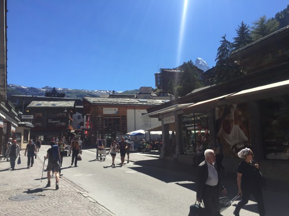
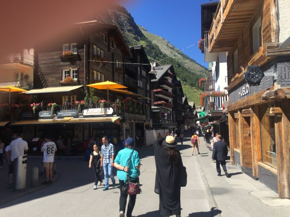
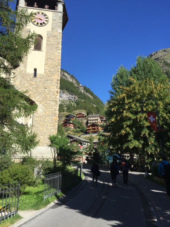
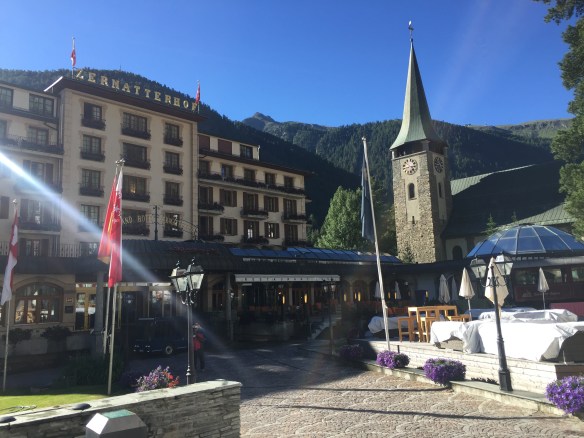
I’ll leave off with a view more photographs of Zermatt itself. A great little car free town, with lovely shops, and just an idyllic place to be summer or winter. It’s my fifth time here all in all, and it won’t be the last.